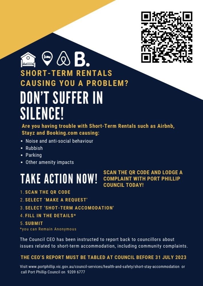
On October 4th, the local Council convened to deliberate on a growing concern that has been affecting the quality of life for many residents: issues related to poorly managed short-stay accommodations. Responding to a petition submitted on September 6th, the Council agreed to activate Clause 59 of the Local Law to take targeted action against establishments causing disruptive effects in residential areas.
12-Month Trial Period Introduced
The Council has approved a 12-month trial designed to measure the impact of enforcement actions against short-stay accommodations causing excessive amenity impacts. These impacts will be assessed based on factors such as the history of complaints, the number of people making these complaints, and the overall effect on neighbouring properties.
Three-Step Amenity Management Plans
To ensure an organised response to complaints, the Council will implement a three-step Amenity Management Plan. The plan will guide the actions taken from the moment a complaint is filed until a resolution is achieved.
- Complaint Received: Local Law officers will be tasked with collecting evidence, including written statements and possible audio or video recordings. This will be done in accordance with newly established guidelines.
- Outcome of investigation: After the investigation is complete, officers may choose between issuing a warning for one-time violations or asking for an Amenity Management Plan to be submitted within a stipulated period.
- Implementation of Amenity Management Plan: Similar to existing requirements for rooming houses, these tailored plans will address various issues such as noise levels, waste management, and parking. The accommodation owner will be held accountable for managing these issues and complying with the plan's terms.
Failure to adhere to the Amenity Management Plan could result in financial penalties or even legal action.
Post-Trial Evaluation
At the end of the 12-month trial period, Council Officers will provide an evaluation detailing the effectiveness of the measures taken. This will include data on how and when Clause 59 of the Local Law was applied to short-stay accommodations and whether it has resulted in meaningful improvements.
a concerned Port Phillip resident.
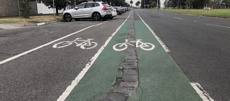
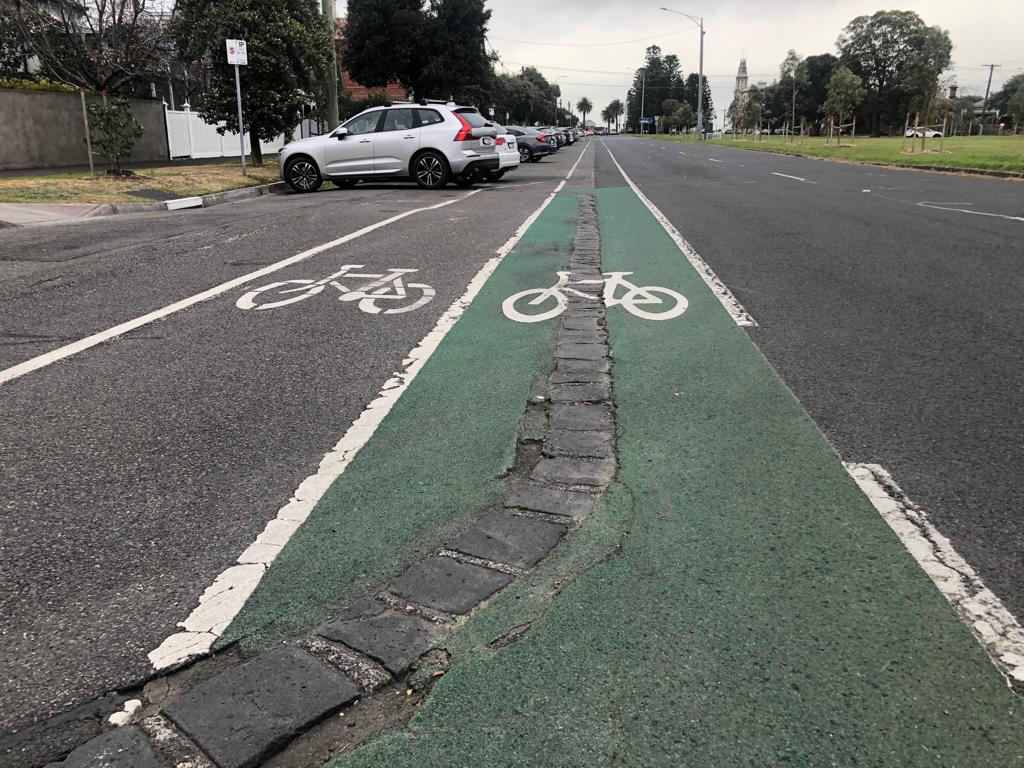
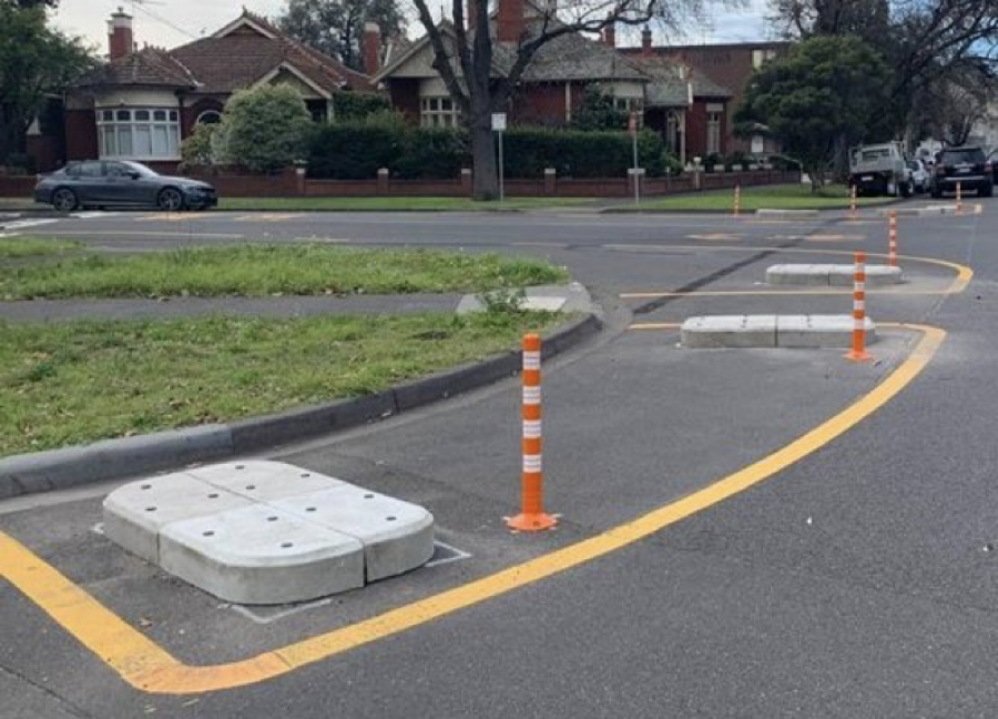
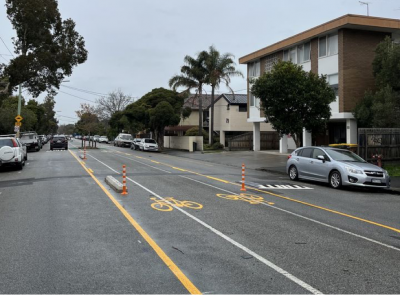
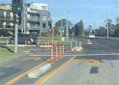
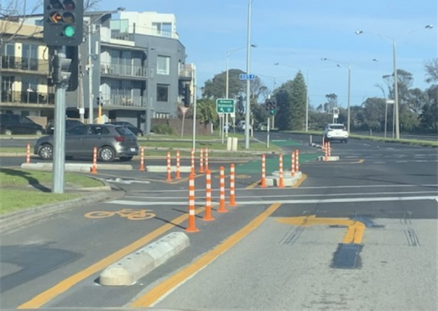
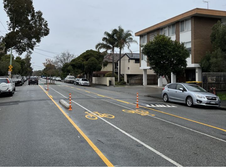
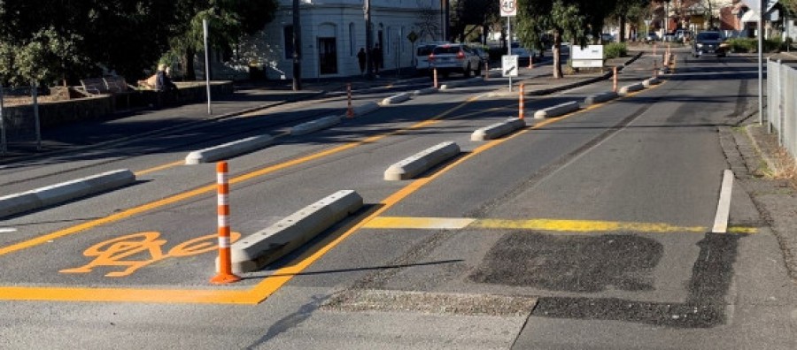
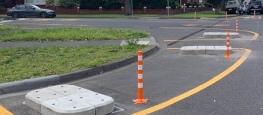
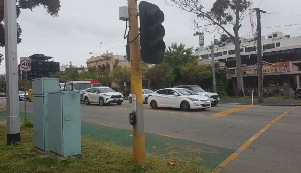
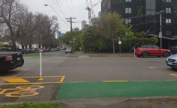
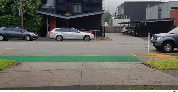
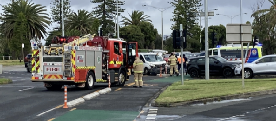
On my journey this morning, there has been a massive car accident involving these confusing and disastrous pop-up bike lanes at the corner of Marine Parade and Glen Huntly Road. Fortunately, nobody seemed to be badly injured, although an ambulance and fire truck attended the accident scene. It has not even been 6 months and the danger these road treatments are causing must be stopped. THIS IS A FAILED TRIAL
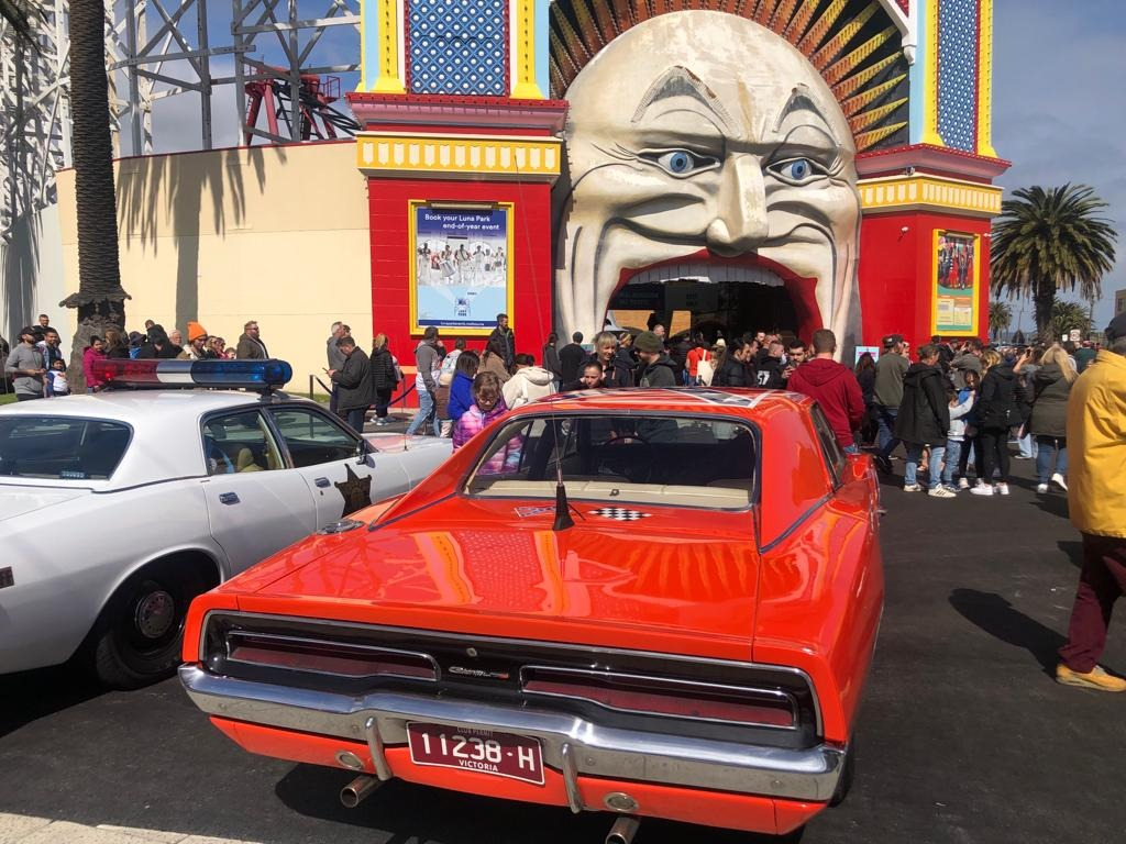
Cars are turning in front of cyclists at Luna Park and causing many dangerous sudden stops, these bike lanes go against every principal we were told when learning to drive. For example, the rules say don’t turn left from the middle of the road.
I read an article in the Age that the Traffix Group made some recommendations about the pop-up bike lanes including the separated bike lanes located on Marine Parade. They recommended the removal of these treatments.
Since I took photos of the incident this morning, I have learnt that Council voted to write to the Department of Transport to remove these dangerous bike lanes on Marine Parade. I hope that there are no more preventable accidents, and nobody is killed before these lanes are removed.
These lanes are a massive waste of tax/rates money (approx. $4.9M) and the people pushing for them should volunteer for an hour at the food bank, that’s where I want my money to go. We should be helping disadvantaged people, not installing that are unnecessary or unsafe bike lanes that are used by very few cyclists. Only 3-4% of road users are cyclists even cyclists don’t like the bike lanes.
I think the city and inner city is overrun by anti-car ideology and a pipe dream of a utopia from fairy land but the reality on the ground is no one wants the disaster that places like Amsterdam have become, their city is dead and there is an undercurrent of good people in their suburbs suffering whilst the city tell them how progressive they are, they can’t afford food gas power and petrol.

Deterrent operations have successfully reduced the number of flying foxes attempting to roost in the Cairns CBD and City Library.
A report to Council today outlined the success of management activities, noting an 83% reduction of flying-foxes attempting to roost at the City Library since deterrent activities started in July 2020.
The report also revealed that in 2020 there were 47 baby bat rescues at the City Library site, compared to just nine last year.
Overall, the annual birthing season has ended, with Cairns wildlife carers caring for 179 orphaned baby bats between September 2021 to February 2022.
According to the report, the spectacled flying fox population have three primary roosts in Cairns (more than 1000 animals):
- Gordonvale (behind the state high school)
- Cairns Swamp, Manunda (including Andersen Conservation Park, Waratah Dr, Mayers St and Cairns Villa and Leisure Park)
- Farmer Rd, Edmonton.